top of page
Tool
How does it work? What does generate?
Input:

Land Map
You provide an image with the world of your dreams, and the tool makes its magic to make it reality.

You provide an image in gray scale, white meaningbig provinces, black meaning small provinces, the tool gives you the provinces image with the sizes.
Province Density Map

Terrain Map
You provide an image with biomes, the tool gives you a full terrain map.
Output:
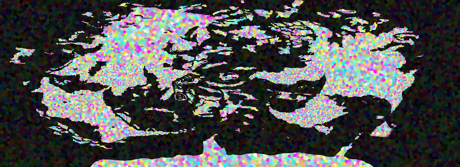
Provinces Map

The tool is going to give you the province map to make your states.
Provinces Map
Terrain Map

The tool is going to give you the terrain map with the biomes.
Terrain Map
Shaders Map

The tool is going to give you the shaders map for the shadows.
Shaders Map
Height Map

The tool is going to give you the height map with the altitudes.
Height Map
bottom of page